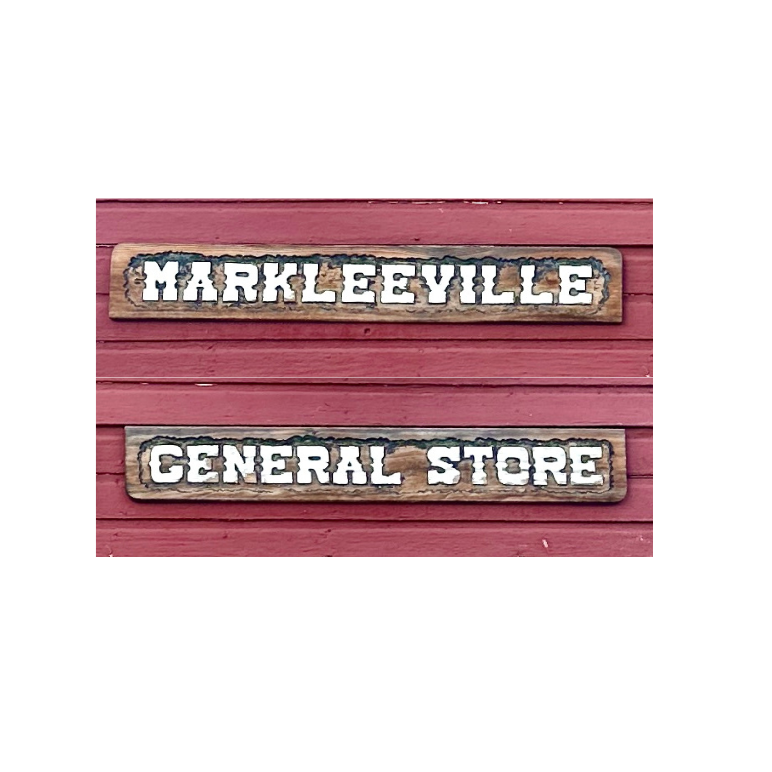
Markleeville
Woodfords

Eat
Heading to Markleeville / Woodfords?
Play
-
-
Markleeville & Woodfords Area Trails:
Charity Valley Trail (Moderate)
Details: ~8.5 miles one-way, 2300 ft elevation change; stretches from Blue Lakes Road down to Grover Hot Springs Rd.
Burnside Lake Trail (Moderate–Strenuous)
Details: ~2-mile connector trail with ~900 ft descent; links Burnside Lake to Charity Valley Trail
Thornburg Canyon Trail (Moderate–Hard)
Details: Approx. 8 miles through Mokelumne Wilderness, with 2500 ft elevation change and varied terrain.
Curtz Lake Interpretive Loop (Easy)
Details: Short, improved interpretive loop near Woodfords; great for a gentle, educational walk.
Horsethief Canyon Route (Intermediate)
Details: ~7.6 miles, ~1989 ft climb and descent; intermediate-level route near Markleeville.Details: A local trail of unknown exact length; elevation around 5919 ft; lies near marker points like Grover Hot Springs.
-
Recommended Fishing Spots in the Markleeville & Woodfords Area
1. East Fork Carson River (Wild Trout Section)
Location: Downstream of Hangman's Bridge near Markleeville.
Why Go: Home to wild rainbow, brown, and Lahontan cutthroat trout in catch-and-release waters—barbless flies and lures only. Fish planting occurs upstream. Best time: late summer into fall.
2. West Fork (West Carson) River — Woodfords
Location: Accessible around Pickett's Junction, where Highways 88 and 89 intersect.
Highlights: A regularly planted put-and-take fishery with rainbows often ranging 5–7 lbs. Look for pocket water and deep runs.
3. Indian Creek Reservoir
Location: Just off Airport Road near Woodfords, accessible from Highway 89.
Highlights: Frequently stocked with trout, including trophy-size rainbows and Lahontan cutthroat. Fishing from the dam or the southwest side of the lake yields good success.
4. Silver Creek
Location: Runs alongside Highway 4 through Silver Creek Canyon to the East Fork Carson.
Why Visit: Offers scenic fly-fishing with accessible riffles and pools. Less crowded sections provide solitude and opportunities for trout.
6. Other Notable High-Mountain Lakes
Caples Lake, Blue Lakes (Upper & Lower), Lost Lake, Woods Lake, Burnside Lake, Heenan Lake
Why They're Great: These alpine and subalpine waters are stocked (often with trout species) and provide beautiful, remote fishing environments. Visit early in the season or check local stocking reports.
-
-
SUMMER:
Single Kayaks
Double Kayaks
Stand-Up Paddleboards
Canoes
Boats
Bikes / Road / Mountain / Bikes
Boat Delivery
Motorboats
Canoes
Kayaks
Stand-Up Paddleboards
Pedal Boats
Single Kayaks
Double Kayaks
Fishing Boats
Stand-Up Paddleboards
Pedal Kayak
Pontoon Boats
WINTER:
Cross Country Skis
Snowshoes
Sleds & Tubes
Snowmobiles
Ski and Snowboard
Ski & Snowboard
Cross Country Skis
Snowshoes
Fat Tire Bikes
Cross Country Skis
Snowshoes
Stay
Looking for something?
Discover All of Alpine County
-
FESTIVALS - 2025
July 18 - August 3, 2025
June 12th - 15th, 2025
Septermber 6th, 2025
EVENTS
-
-
RESTAURANTS BY AREA:
Bear Valley / Lake Alpine
Kirkwood / Caples Lake / Hope Valley
View All Restaurants in Alpine County
-
Our Blue Planet Adventures: Casey Niccum ( or call: +1 (775) 400-5813)
-
SUMMER:
Single Kayaks
Double Kayaks
Stand-Up Paddleboards
Canoes
Boats
Bikes / Road / Mountain / Bikes
Boat Delivery
Motorboats
Canoes
Kayaks
Stand-Up Paddleboards
Pedal Boats
Single Kayaks
Double Kayaks
Fishing Boats
Stand-Up Paddleboards
Pedal Kayak
Pontoon Boats
WINTER:
Cross Country Skis
Snowshoes
Sleds & Tubes
Snowmobiles
Ski and Snowboard
Ski & Snowboard
Cross Country Skis
Snowshoes
Fat Tire Bikes
Cross Country Skis
Snowshoes
-
-
-
Bear Valley + Lake Alpine
Kirkwood + Caples Lake + Hope Valley
Markleeville + Woodfords
-
Bear Valley + Lake Alpine
Highland Lakes Campground - USFS
Kirkwood + Lake Alpine
Desolation Hotel Hope Valley Campground - Private
Markleeville + Woodfords
Turtle Rock Park - Alpine County CLOSED
Indian Creek Recreation Area - BLM


